
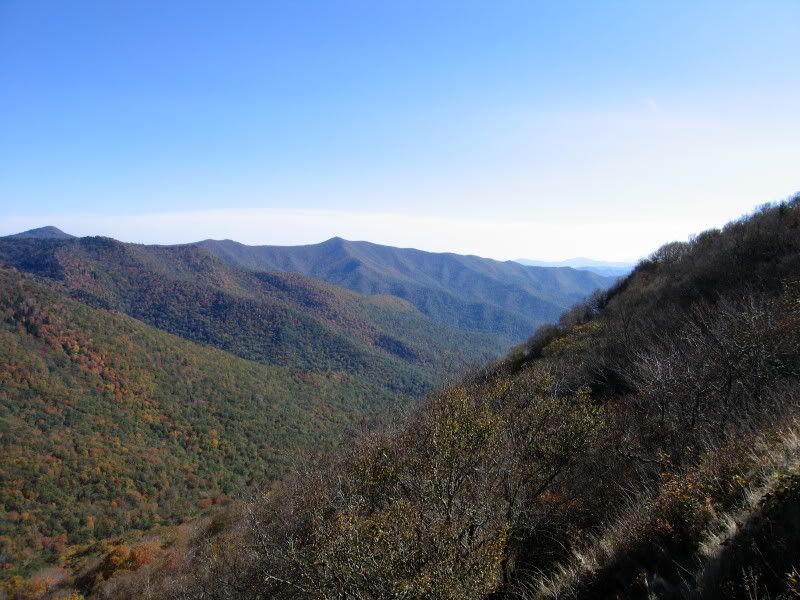
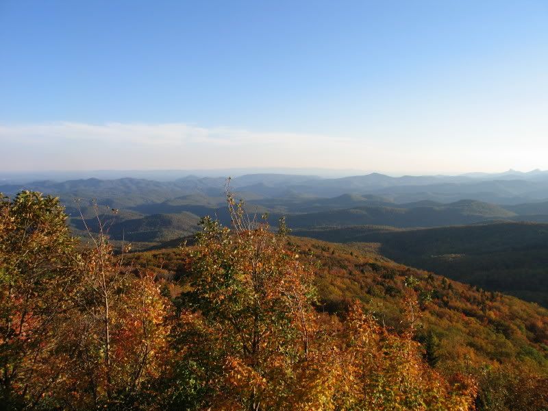
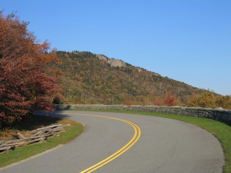
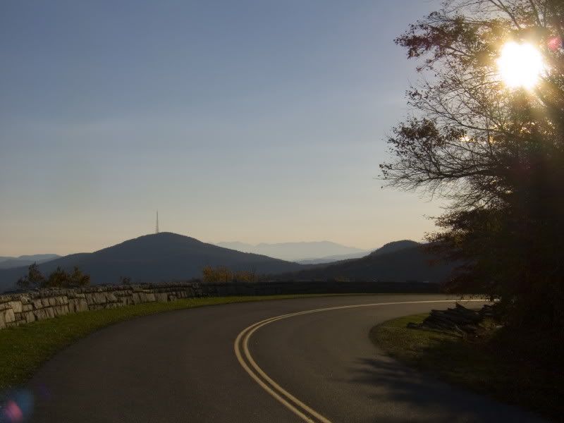
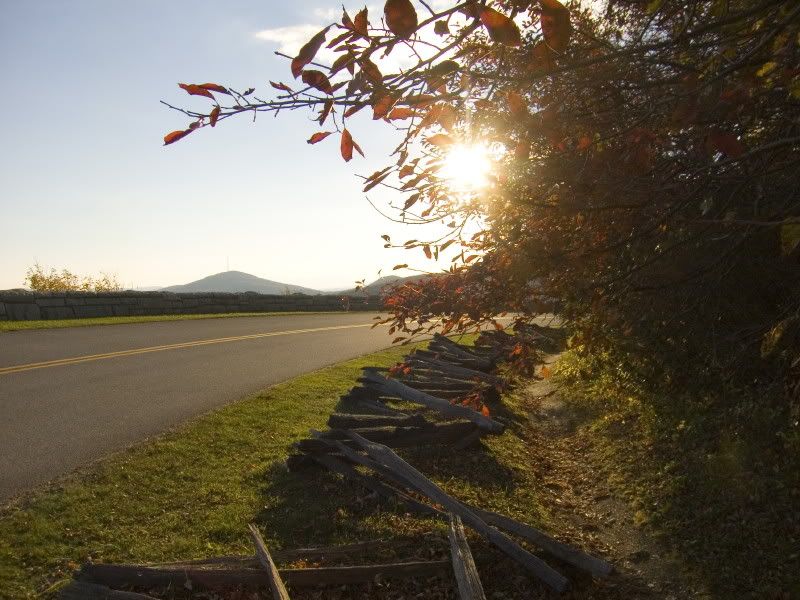
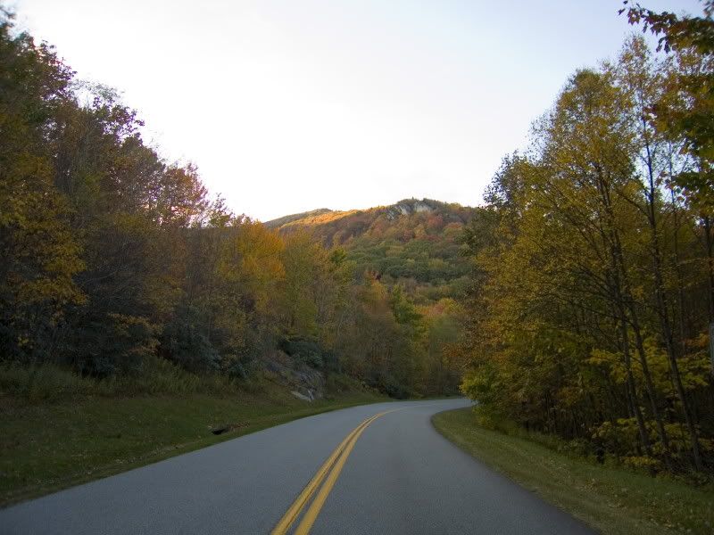
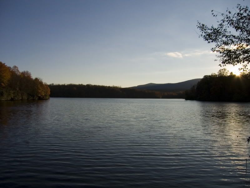
This last Sunday, I went for a drive up in the mountains for about 100 miles on the Blue Ridge Parkway. It was a beautiful day - perfect for driving. Nice and cool, very clear, and sunny. This was the first time I've really used my new digicam extensively - I was impressed with its performance.
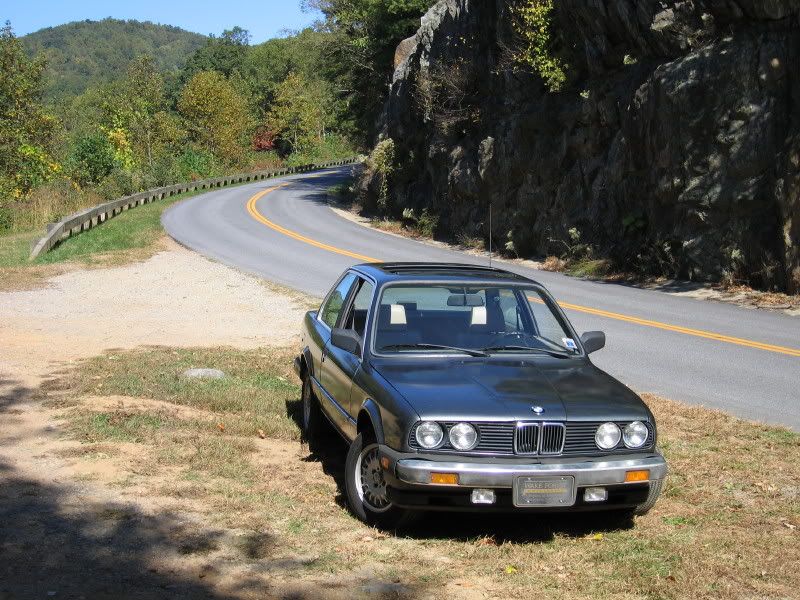
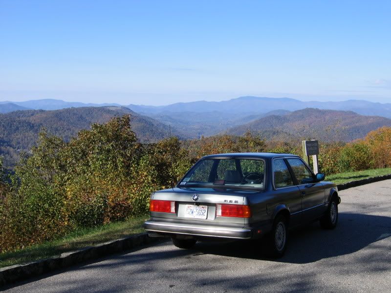
Plus, the E30 performed beautifully - it really felt at home on the twisty mountain roads in cool fall weather. [headbang]
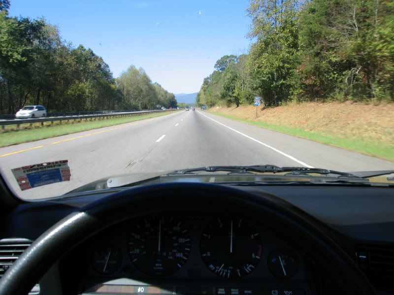
Driving on I-40W towards the mountains
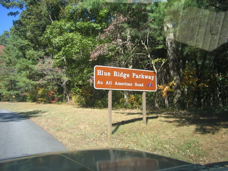
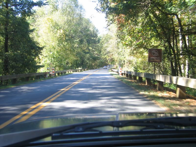
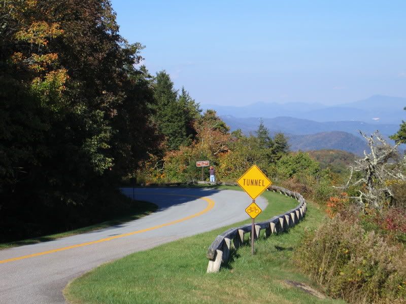
This was the entrance to the Blue Ridge Parkway that I took - I got on in Asheville, NC.
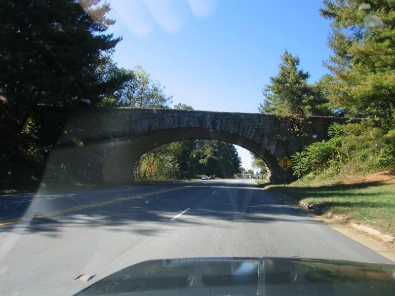

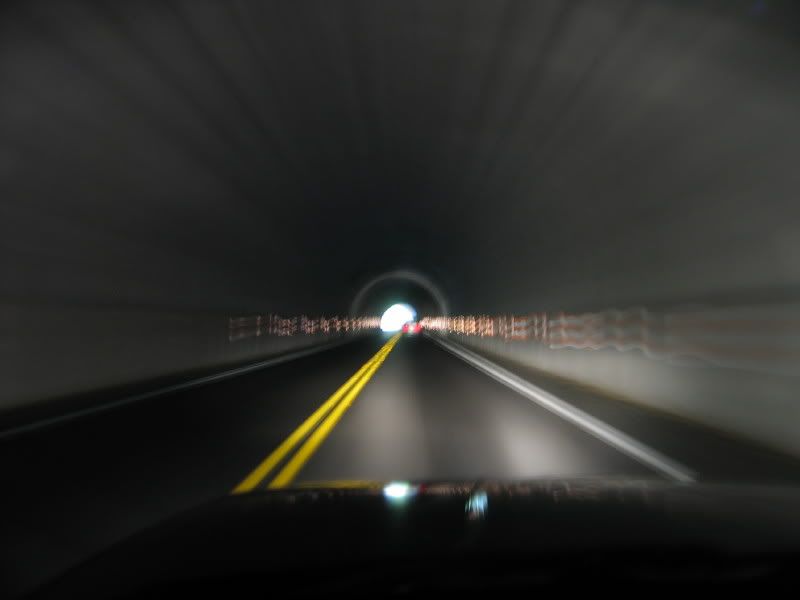
One of the numerous tunnels on this stretch of the parkway:
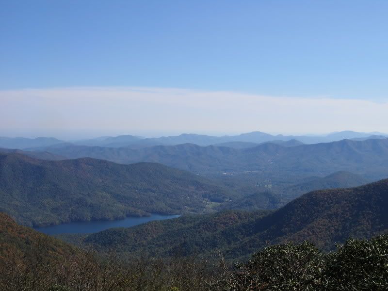
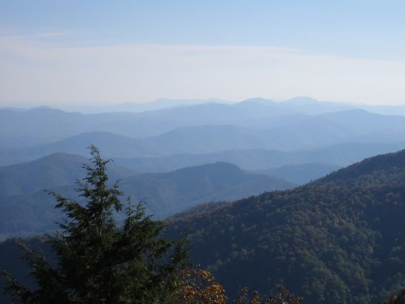
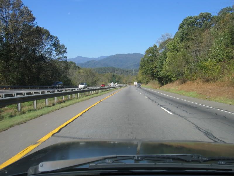
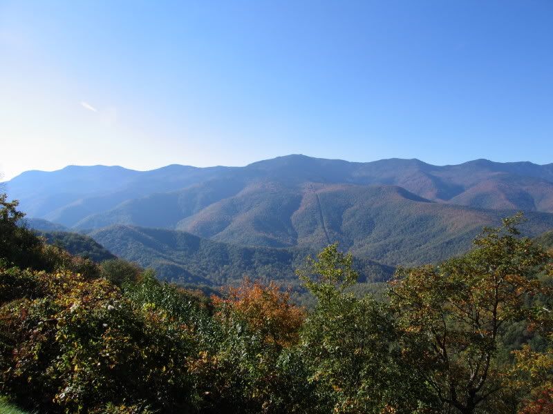
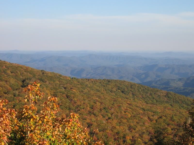
The tallest peak in the middle in this picture is Mt. Mitchell - the highest point East of the Mississippi River:
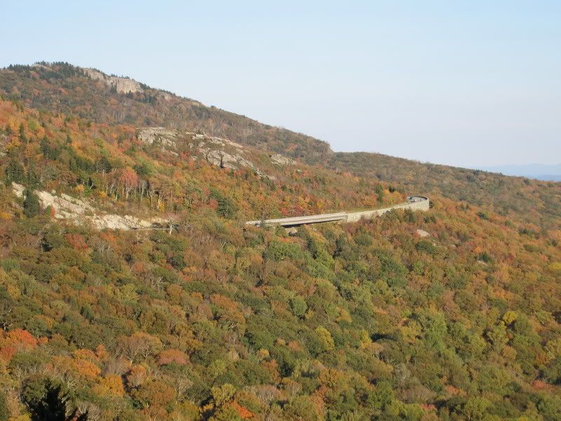
This next picture is the Linn Cove Viaduct - the last part of the Blue Ridge Parkway to be completed. This is a really cool, very complex bridge that winds around the side of Grandfather Mountain.

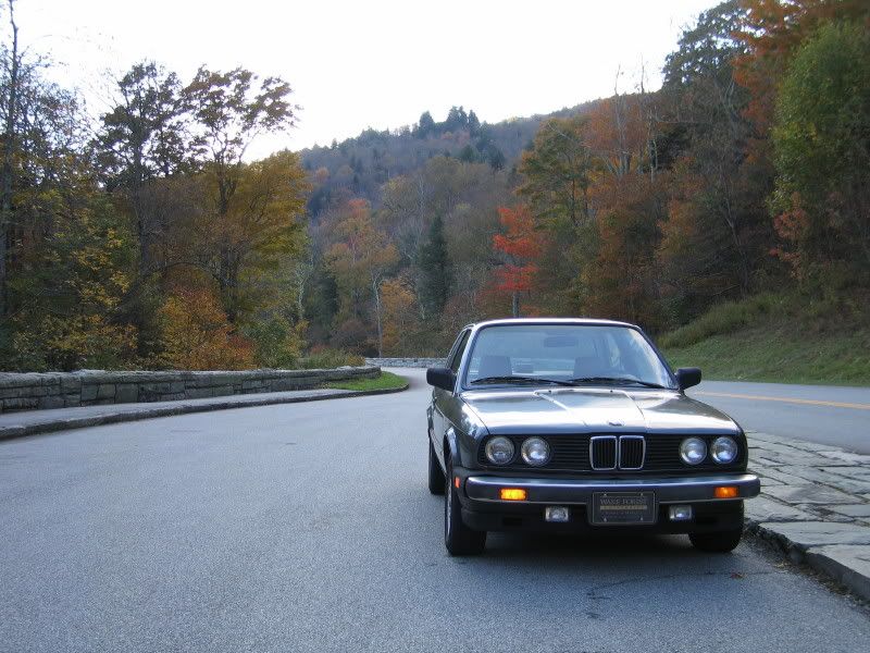
Plus, the E30 performed beautifully - it really felt at home on the twisty mountain roads in cool fall weather. [headbang]
Driving on I-40W towards the mountains
This was the entrance to the Blue Ridge Parkway that I took - I got on in Asheville, NC.
One of the numerous tunnels on this stretch of the parkway:
The tallest peak in the middle in this picture is Mt. Mitchell - the highest point East of the Mississippi River:
This next picture is the Linn Cove Viaduct - the last part of the Blue Ridge Parkway to be completed. This is a really cool, very complex bridge that winds around the side of Grandfather Mountain.